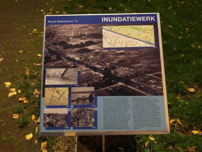
The idea behind the New Dutch Waterline was to intentionally flood a large area of land. As a result the enemy would not be able to sail on, wade through or shoot over the flooded area. To raise the water to a knee-high level was already sufficient to hide all roads, trenches, ditches and small rivers from view. Already in approximately 1820, the Vaartse Rijn channel could be blocked here by blocking the water with beams, in order to let the water coming from the Lek to stream eastward.
These wooden strut beams were stored in the adjacent beam hole, where they were stored floating on the water to promote conservation (at the nowadays caravan centre). The ministry of war was owner of the land around the complex. In 1956, the northern block of water locks was removed and replaced with the current turntable. Initially, the entire area south of the Diamantweg (previously Hoogravensedijk) would have been flooded. Later on, the border was moved on eastward. The park on the Julianaweg shows where the inundation embankment was. At the end of the Verl. Hoogravenseweg, you can still see the dam lock that was also part of this unique defence mechanism.

