Nieuwe Hollandse Waterlinie

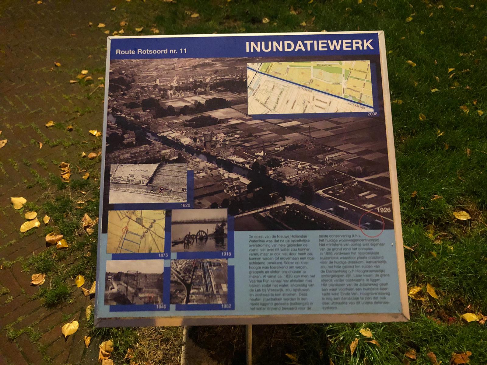
Route Rotsoord no. 11 – Inundation Works

The idea behind the New Dutch Waterline was to intentionally flood a large area of land. As a result the enemy would not be able to sail on, wade through or shoot over the flooded area. To raise the water to a knee-high level was already sufficient to hide all roads, trenches, ditches and small […]

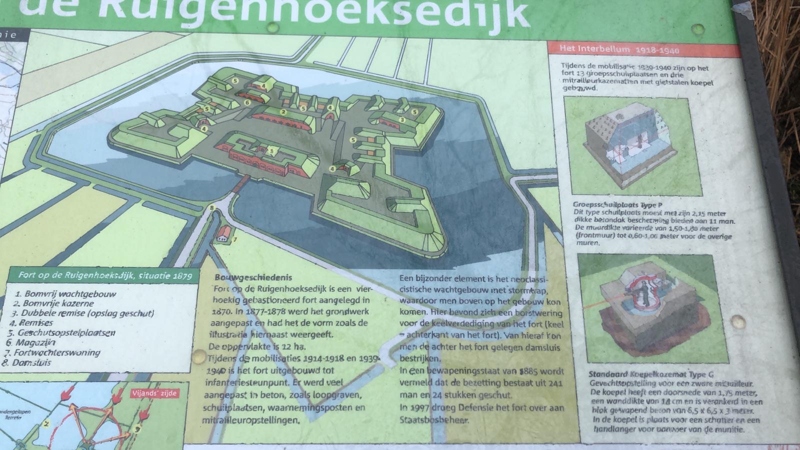
Fortress on the Ruigenhoeksedijk

Box 1: The New Dutch Water Line The New Dutch Water Line was the main defense line of our country from 1815 to February 1940. This line consisted of a chain of 50 forts, 6 fortified towns and 750 concrete group shelters, 88 military rifle casemates and many military locks. An 85-kilometer-long Waterline ran through […]

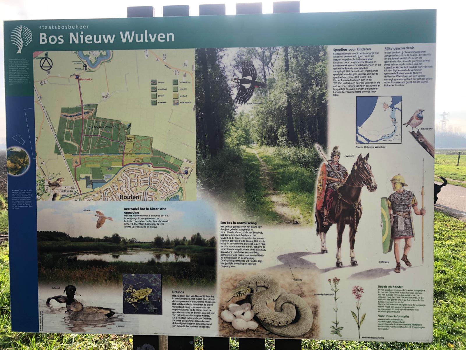
Forest New Wulven

Recreational forest in historic surroundings The Nieuw Wulven forest is a young forest that has been created in a varied and historic landscape. In the forest, which is managed by Staatsbosbeheer, there is a lot of space for recreation and nature. Illustration: Warbler Drasbos The southern part of Nieuw Wulven is located between grazing lands. […]

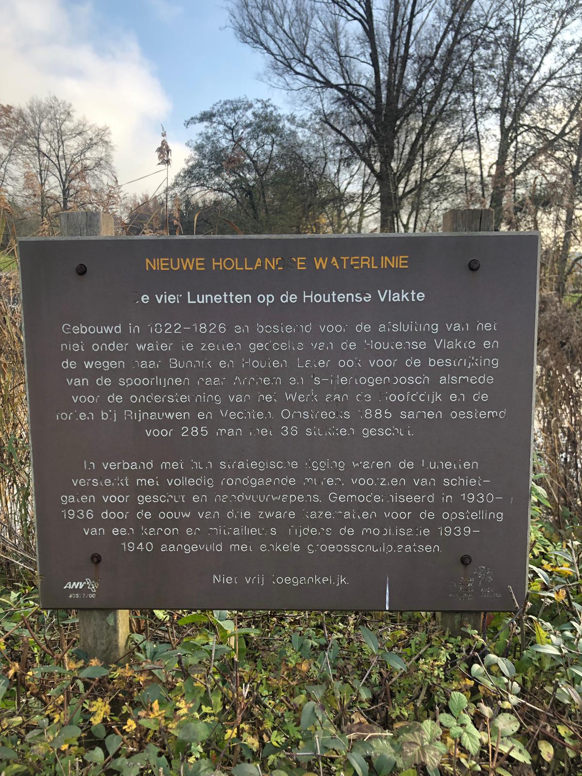
New Dutch Water Line

The four Lunettes on the ‘Houtense Vlakte’ Built in 1822-1826 and intended for the closure of the part of the Houtense Vlakte that cannot be flooded and the roads to Bunnik and Houten. Later, it also served for the coverage of the railway lines to Arnhem and ‘s-Hertogenbosch as well as for the support of […]

Scroll to top